
Carbon project developer · West Africa
The land remembers its forests.
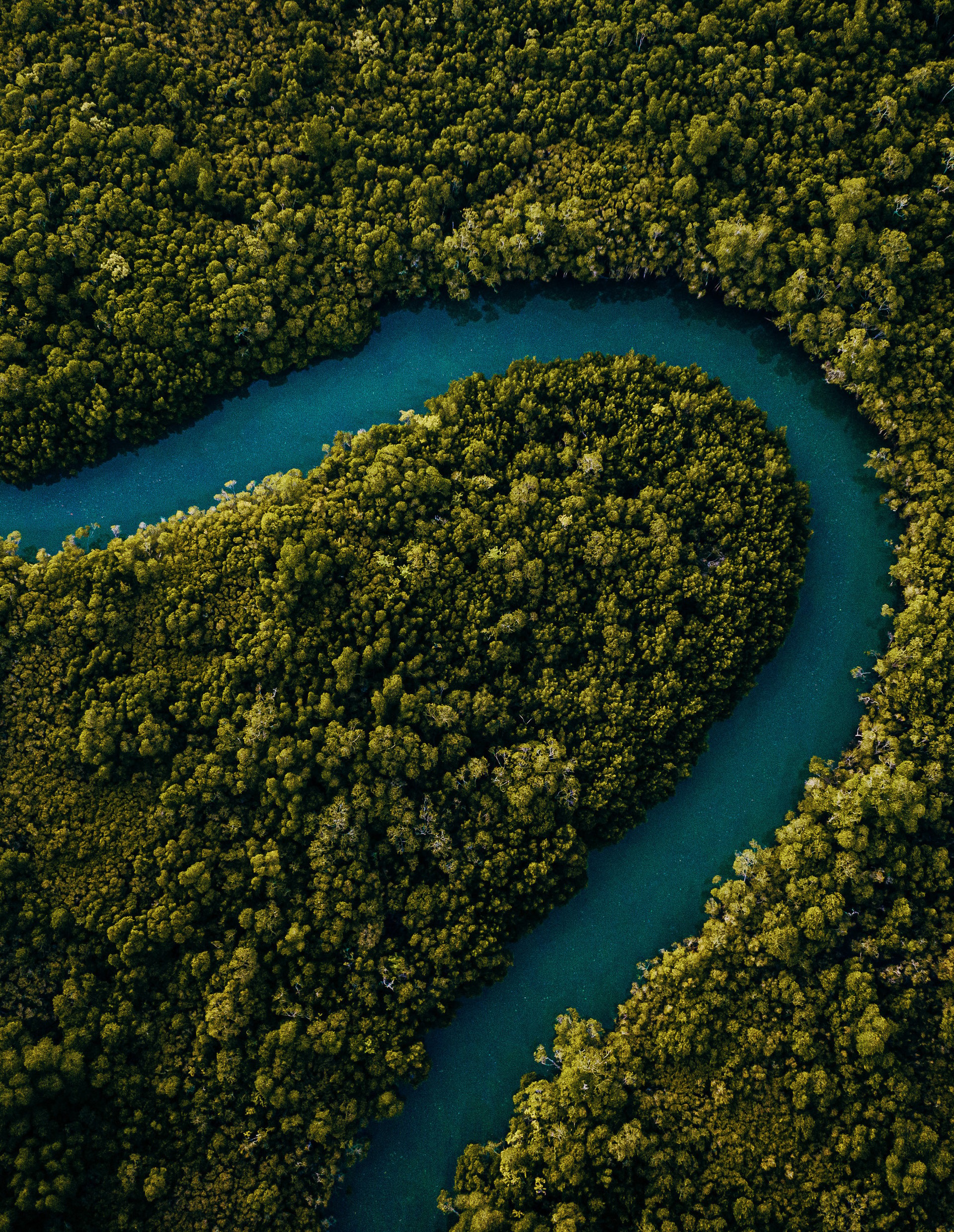
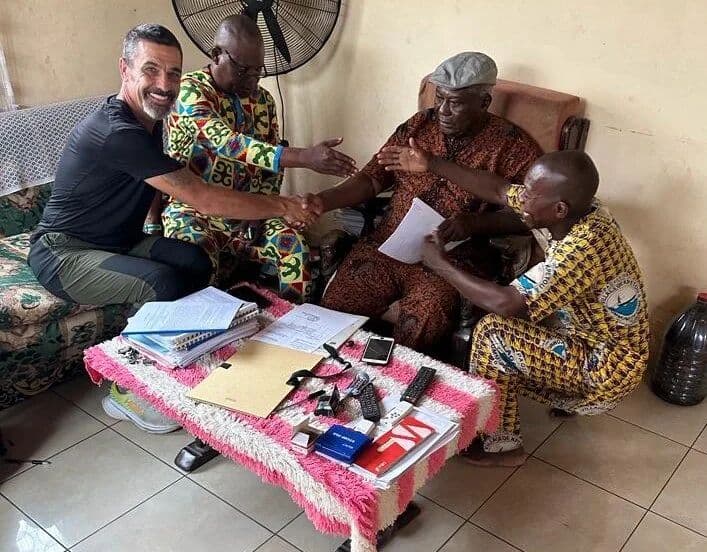
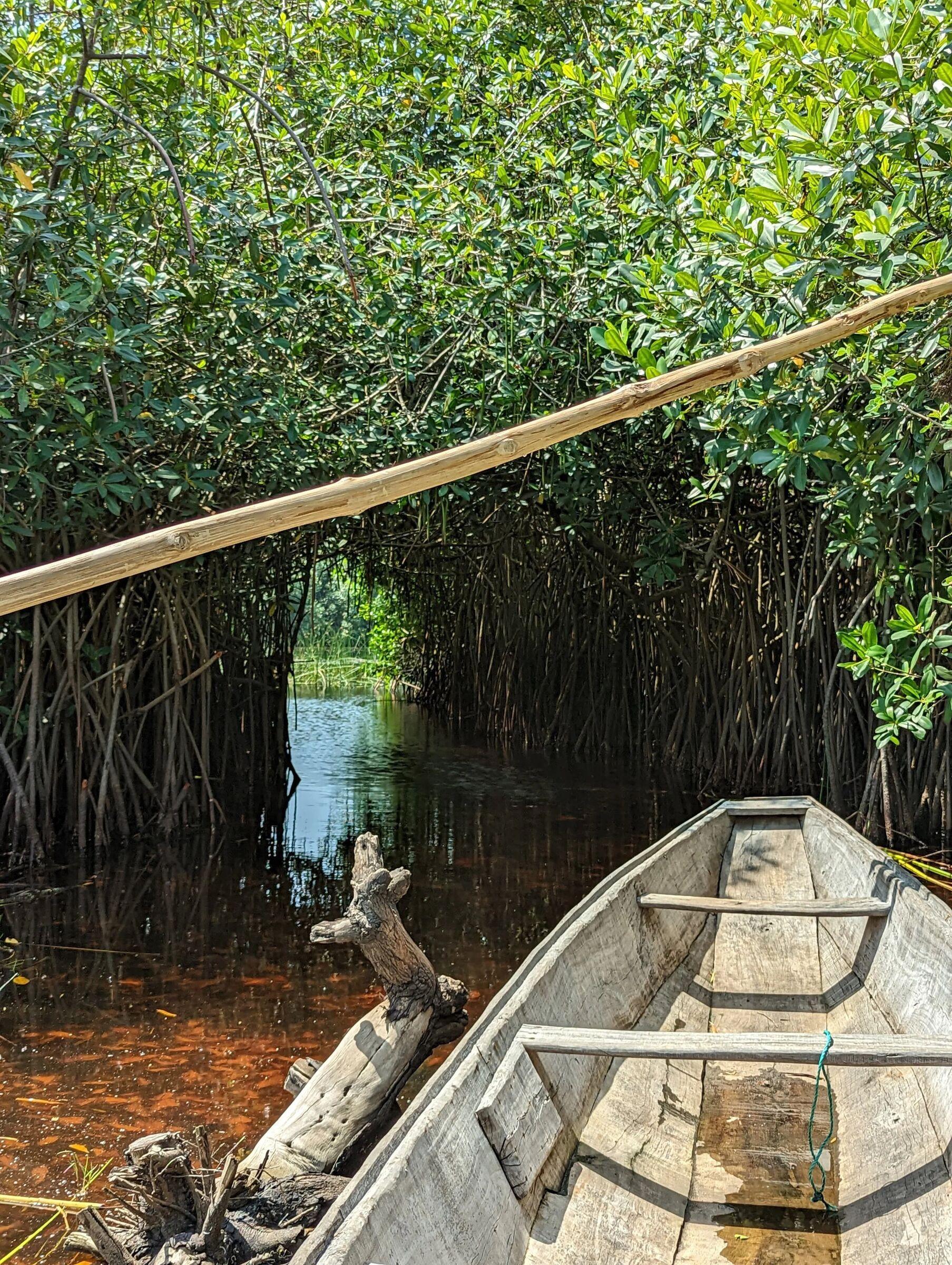
MAIS Eco develops nature-based carbon projects in West Africa, starting with mangrove restoration on the coasts of Ghana and Benin. We build every project with the communities who own the land, and to a standard that holds up to scrutiny.
Why we exist
The carbon market has a trust problem. Too many projects promise hectares they don't hold and tonnes they can't prove, and the communities they name never see the benefits. MAIS Eco is built the other way round: community consent before carbon, the water before the trees, and evidence before claims.
Small on purpose
We start with parcels we can manage, monitor and defend, and scale only once the model is proven on the ground.
Built on community demand
We grew out of two decades of agroforestry and rural development across West Africa, from Nigeria to Benin. Coastal communities with land too wet or salty to farm asked for a way in.
Long-term by design
A 40-year crediting horizon means 40 years of stewardship, monitoring and shared income.
- Keta pilot restoration area
- 2,066ha
Keta pilot restoration area
- communities engaged in Ghana
- 25+
communities engaged in Ghana
- community members in the pilot landscape
- 15,000+
community members in the pilot landscape
- of net project value committed to community funds
- 20%
of net project value committed to community funds
- of restoration potential on Ghana's coast
- 50,000ha
of restoration potential on Ghana's coast
What we develop
Mangroves first. Not mangroves only.
Blue carbon is where we started and what we know best. The same model of consent, careful site selection and evidence carries into every project type we take on.
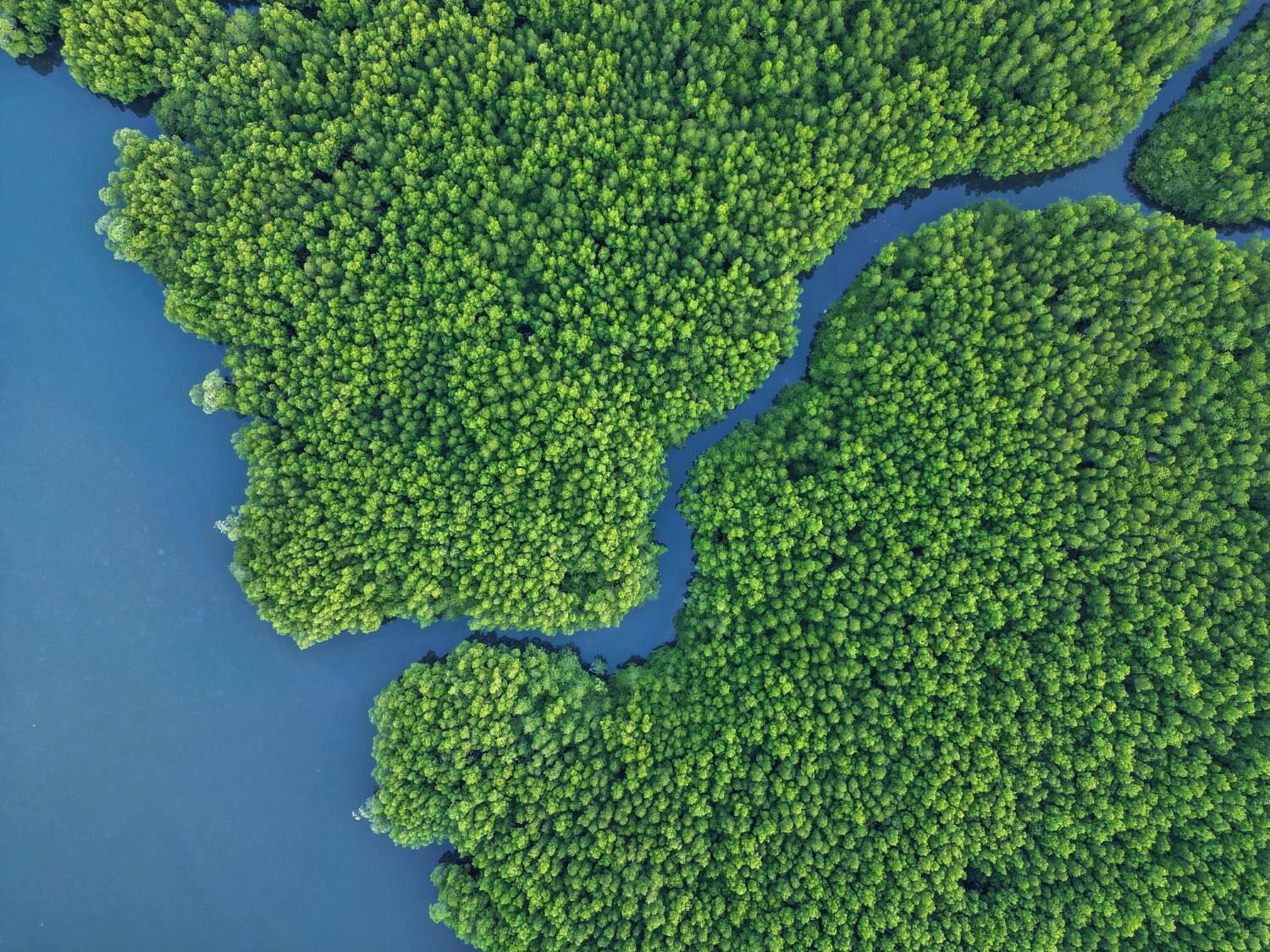
Blue carbon
MANGROVE RESTORATION · OUR SPECIALISM
Mangrove restoration in coastal lagoons and deltas, where it does the most good for carbon, coastlines and the communities behind them.
Ghana · Benin
Green carbon
NATIVE REFORESTATION · ARR
Restoring degraded inland landscapes with native forest, built on the same model of community consent and long-term stewardship.
Inland West Africa
Sustainable timber
ARR WITH HARVEST
Planting long-rotation hardwoods such as teak on land that held no trees before. Carbon is credited only up to the long-term average stock across harvest cycles, so we claim the lasting net gain and nothing more.
Inland West Africa
Biochar
INTEGRATED WITH OUR ARR PROGRAMME
Residues from the timber programme become biochar: a renewable carbon that lets industry replace fossil inputs and cut its emissions. We're assessing how it could also earn carbon removal credits.
Industrial supply
The uncomfortable truth
Most mangrove planting doesn't survive.
Studies of planting programmes from the Philippines to Sri Lanka keep reaching the same conclusion: planting trees is easy, and getting them to live is hard. The failures come down to three things, and none of them is the seedling.
20%
average seedling survival across 119 mangrove planting attempts in Southeast Asia
WODEHOUSE & RAYMENT (2019), ESTUARINE, COASTAL AND SHELF SCIENCE ↗1.4%
survival where mangroves were planted on mudflats, which made up a third of those attempts
WODEHOUSE & RAYMENT (2019), ESTUARINE, COASTAL AND SHELF SCIENCE ↗9 of 23
restoration sites in Sri Lanka had no surviving plants at all
KODIKARA ET AL. (2017), RESTORATION ECOLOGY ↗Land
Projects often plant on land nobody clearly owns, which is frequently too low in the tidal zone for mangroves to survive. Unclear rights also leave projects open to disputes that can unravel them years later.
How we design it out
We map the rights-holders for every parcel and document tenure and carbon rights with legal partners before a project area is fixed.
People
Restoration works only when local communities are engaged and actively support it, with access and use rights settled first. Without that, young stands are cut, grazed or abandoned.
How we design it out
A three-stage FPIC process, landholder compensation, open grievance channels and jointly governed community funds.
Water
Mangroves need the right elevation, tidal flooding and salinity. Many failures trace back to the wrong site or species: mudflats, seagrass beds, blocked creeks, no aftercare.
How we design it out
Hydrology-first screening of tidal exchange, salinity and creek connectivity, with survival monitoring and replanting built into the budget.
Our standard
Three commitments a buyer can check.
01
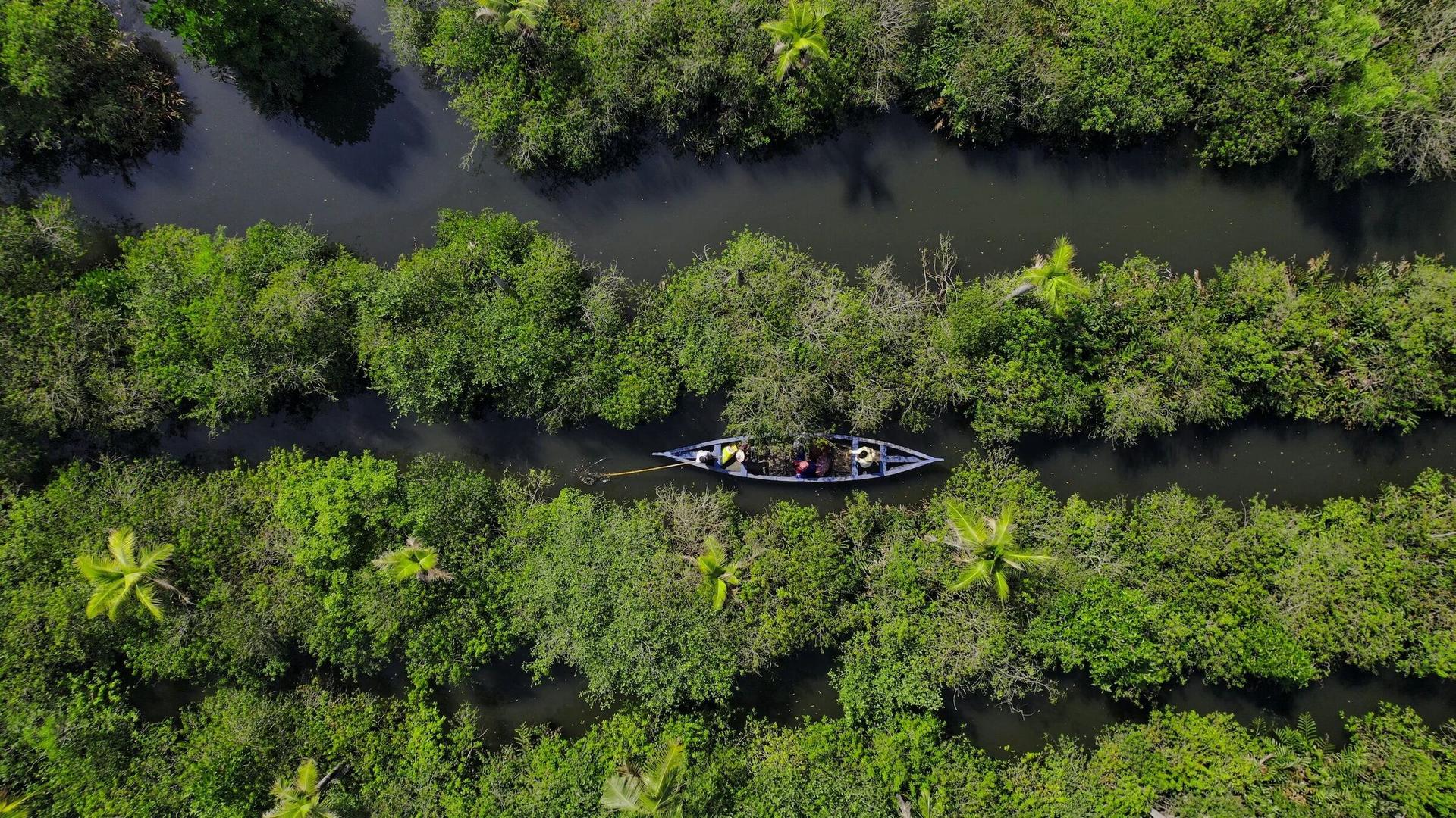
Conservative, science-based
Every estimate is built from field measurement, local research and the methodology's full set of deductions, never from best-case assumptions. Independent validation and verification come before any credit is issued.
- Verra VCS methodology (VM0033)
- Locally calibrated field measurement
- Independent validation and verification
02
Community before carbon
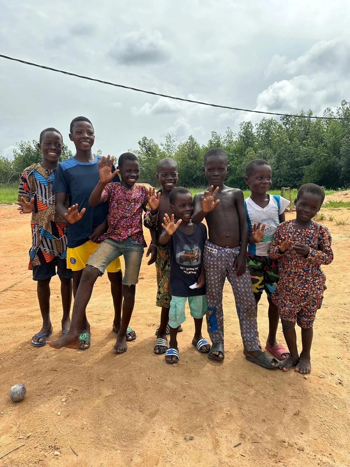
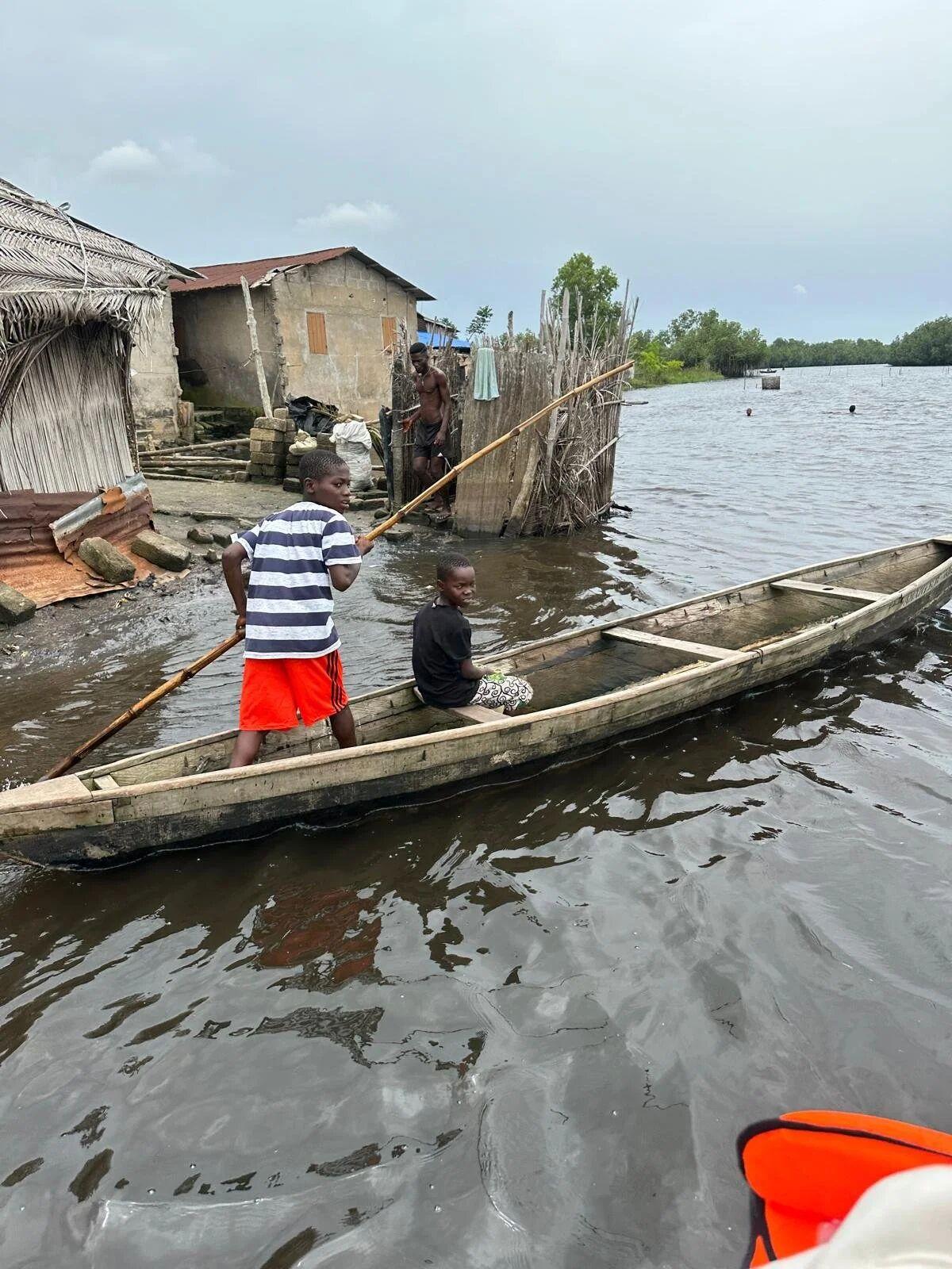
Consent is a process, not a signature. We map every rights-holder, from chiefs and clans to fishers and fish processors. Then we run a three-stage FPIC process, compensate landholders and lock a fixed share of value into jointly governed community funds.
- Three-stage FPIC
- Landholder compensation
- 20% of net value to community funds
03
Evidence you can inspect
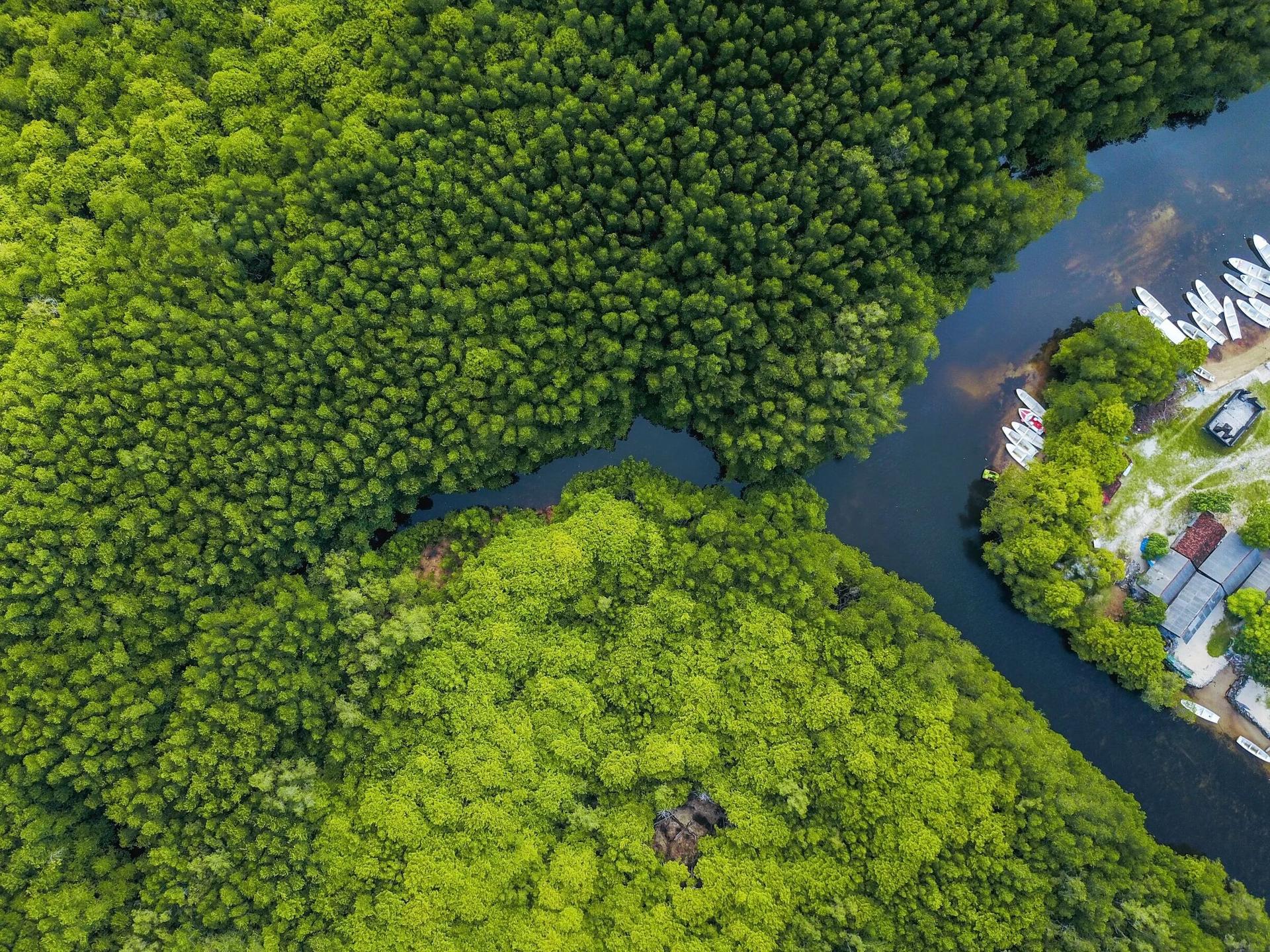
Boundaries are held in GIS and checked against every other carbon claim in the landscape. Drone mosaics, satellite monitoring through Arkadiah, and dated field records give investors and buyers a live view of what's happening on the ground.
- GIS boundary control
- Near-live satellite monitoring
- Verification-ready evidence files
Why mangroves
The hardest-working forest on Earth.
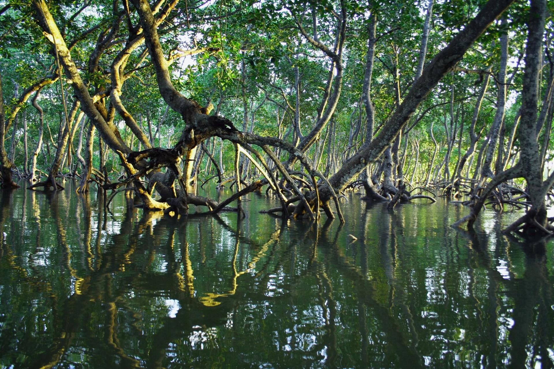
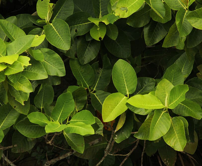
Mangroves hold more carbon per hectare than almost any other forest, and most of it is locked away in waterlogged soils for centuries. They also shelter fisheries, break storm surges and hold the coastline together for the communities behind them.
See how mangroves work→49–98%
of a mangrove forest's carbon is held in its soils, not its trees
DONATO ET AL. (2011), NATURE GEOSCIENCE ↗13–66%
lower wave height after passing through 100 m of mangroves
MCIVOR ET AL. (2012), THE NATURE CONSERVANCY & WETLANDS INTERNATIONAL700bn+
juvenile fish and invertebrates supported by mangroves each year
ZU ERMGASSEN ET AL. (2025), COMMUNICATIONS EARTH & ENVIRONMENT ↗Where we work
One coastline. A pipeline built rung by rung.
Each project area passes its own gates (hydrology, tenure, consent, carbon eligibility) before it joins the platform.
LONG-TERM PLATFORM
Ghana Coastal Platform
Five coastal Ramsar systems
50,000ha

20%
of net project value, fixed for the life of the project, held in community funds
Community investment funds
Two keys to every account.
Carbon money that disappears into a single pocket destroys trust. So each community fund is governed jointly: no payment moves without sign-off from both MAIS Eco and the community board, and either side can veto a spend.
Dual authorisation
Ring-fenced accounts. Every movement of funds needs both MAIS Eco and an authorised community signatory.
Mutual veto
The community protects local priorities. MAIS Eco protects safeguards, anti-corruption rules and Verra/CCB alignment.
Open books
Minutes, budgets, payments and procurement records are shared with the community, investors and verifiers.
Fair procurement
Competitive tender by default, with at least three quotes and selection approved by both sides.
What the funds can pay for
Coming soon · Investor room
Watch your hectares grow.
Investors will get a private, permissioned view of the projects they back: live boundary maps and satellite layers, every FPIC meeting with minutes and photographs, nursery and survival data, fund ledgers and verification documents. All of it is dated and traceable.
- Satellite & drone layers via Arkadiah
- Dated, geotagged field evidence
- Community fund ledgers
- Data-room documents in one place
Field log
- FPIC
Community consultation · second session
Minutes, attendance & 18 photos
- GIS
Drone mosaic updated · northern strata
Layer published to map
- NURSERY
Seedling count & survival check
Field sheet · geotagged
- FUND
Community fund board meeting
Budget approved · dual-signed
ILLUSTRATIVE PREVIEW
From the field
Journal
Working with




Help us restore the coast, and prove it.
Investors
Implementation capital, prepayment and platform partnerships for the Ghana pipeline.
Talk to us →
Credit buyers
Long-term access to high-integrity blue carbon with a community story you can verify.
Talk to us →
Restoration partners
NGOs, water authorities and researchers who want carbon finance behind their work.
Talk to us →